Travel Log: Day 4
I just want to thank everyone before I start off about my day for the blog comments I have been receiving so far. I really enjoy reading them and it’s good to know that my fan base is growing as fast as my beard =)
On today’s agenda: another day in the car whooppeee! I almost feel like a trucker. Thinking we had a long day ahead of us, we woke up at 6h00 (AST) to be on the road by 7h30-8h00, after we shower, gas up and grab some b’fast.
On today’s agenda: another day in the car whooppeee! I almost feel like a trucker. Thinking we had a long day ahead of us, we woke up at 6h00 (AST) to be on the road by 7h30-8h00, after we shower, gas up and grab some b’fast.
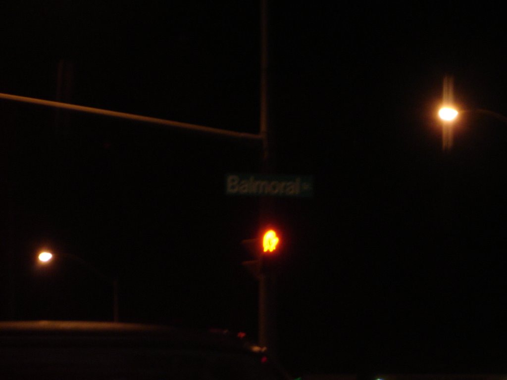 "Balmoral Ave. in Thunder Bay"
We hit the road before the sun rose and cruised right along Hwy 17 in very minimal traffic. The landscape was basically the same as yesterday for the first couple hours of the trip: long straight roads, wooded areas and barely any houses except when we drove by small communities. The car ride did become more interesting after we drove through Dryden because we started driving on a mountainous landscape: windy roads, big hills, cliffs and everything else except mountain goats. We didn’t stop as much as we did yesterday because in the end, everything ends up looking very similar to each other.
 "Don't drive off the edge!"
 "Desert Storm Leading the Pack as usual"
We grabbed lunch in Kenora and had an encounter with native Indians. They were pretty messed up telling us all kinds of nonsense stories and ended up bumming us for a couple of bucks in the end. Some things don’t change much across the country after all hahaha!!! To our surprise we ended in Manitoba sooner than we anticipated this morning and got a glimpse of what the plains look like; everything suddenly went flat about 30km outside Winnipeg.
 "Watch out for the Bisons"
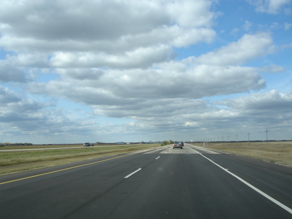 "Manitoba Skies"
So now the warning signs changed from moose to deer and bears now and we finally went back to a 4-lane highway (the highway had been a 2 lane highway since leaving Ottawa Manitoba highway system is that they don’t have on and off ramps like we usually see in New Brunswick
We drove in the west side of Winnipeg Winnipeg Winnipeg Winnipeg is kind of like Fredericton Winnipeg Center MTS Center
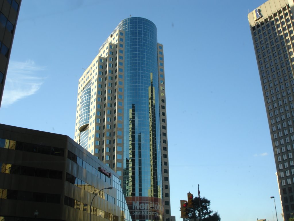 "Shiny Skyscraper in W'peg"
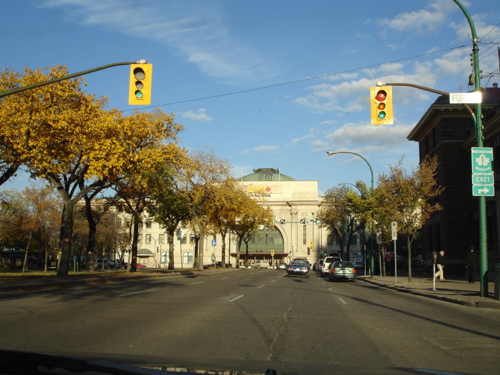 "Winnipeg Train Station"
 "Home of the Blue Bombers"
 "MTS Center, home the of Manitoba Moose (AHL)"
Distance Traveled: 800km


Post a Comment